Inca trail
Inca trail
Inca trail
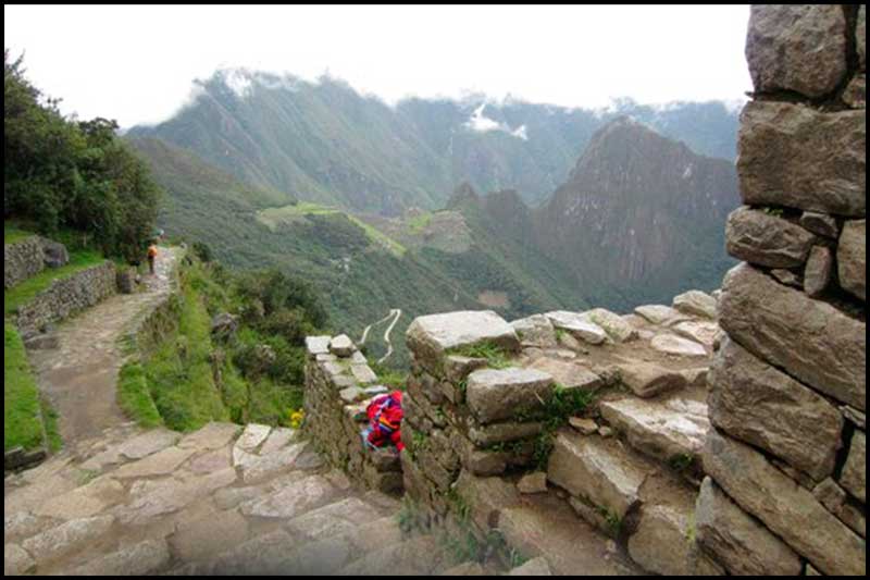
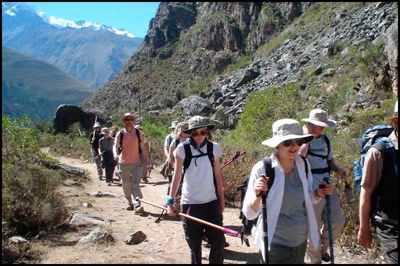
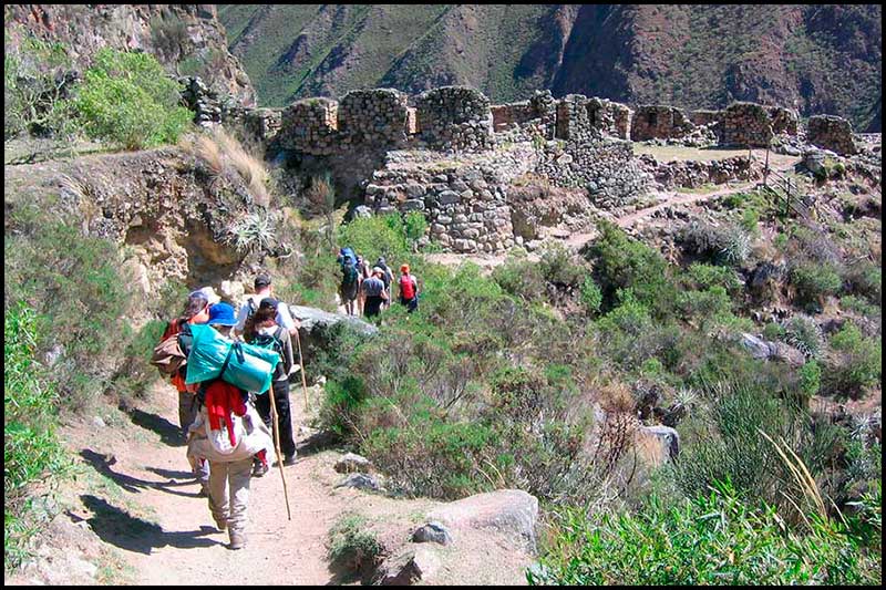
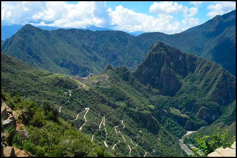
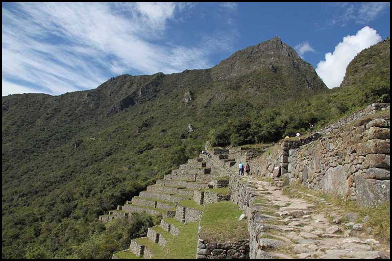
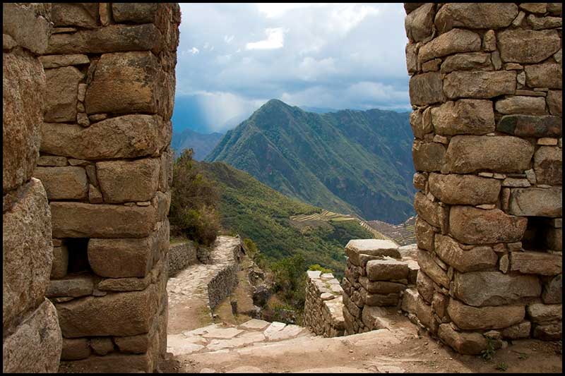
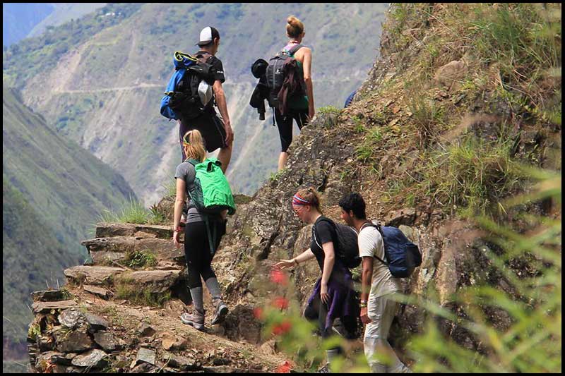
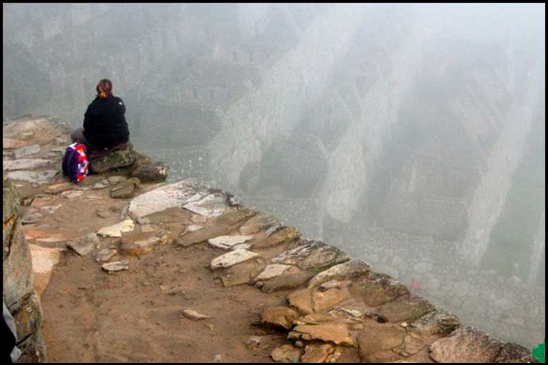
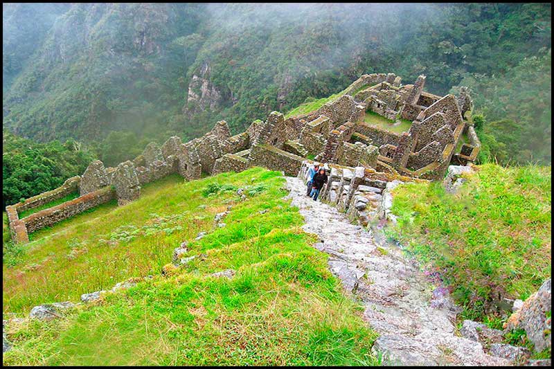
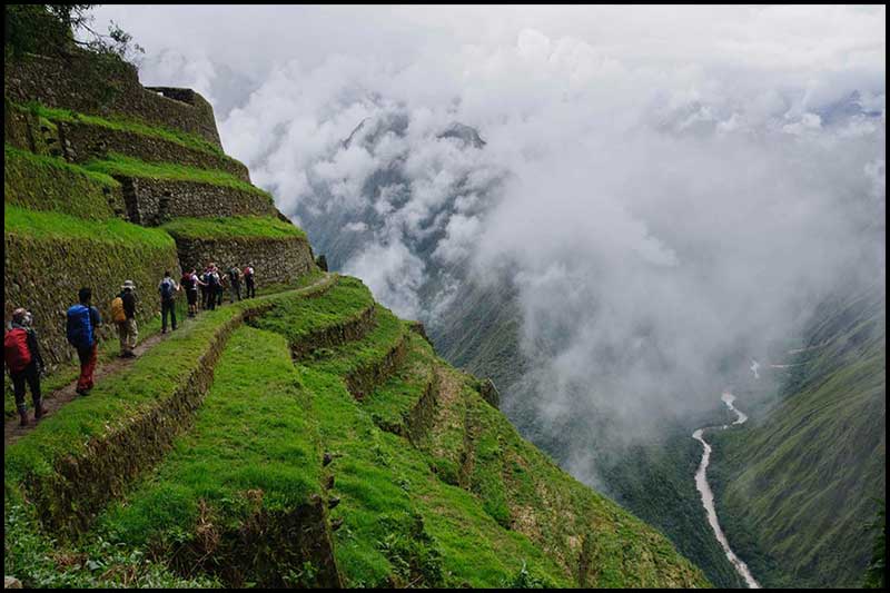
The Inca Trail to Machu Picchu or Tahuantinsuyo road network to Machu Picchu, consists of three overlapping paths: Mollepata , classic, and one day. Mollepata is the longest of the three routes with the highest mountain pass and intersects with the classic route before crossing Warmiwañusqa ( "dead woman"). Located in the Andes, the road passes through several types of environments including Andean cloud forests and alpine tundra. Settlements, tunnels, and many Incan ruins are found along the track before the end of the terminal in the Sun Gate in the mountains of Machu Picchu. The two longer routes require an ascent to beyond 4,200 meters (13,800 feet) above sea level, which can lead to altitude sickness.
Coordinates
- 13°15′29″ south latitude
- 72°15′48″ west longitude
Weather
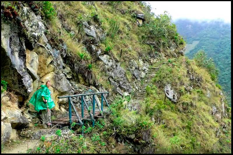
The climate is moderately warm, slightly humid, with seasonal rainfall of over 400 mm. Basically, the temperature of rain is from November to April, the weather is cold temperate, depending on altitude, latitude and time of year and of course with the presence of rain.
Travel
the Classic Inca Trail 4 days or Short Inca Trail 2 days, lots of water, energy, a good pair of shoes and a map of the route will be necessary. With all this in your travel bag, you will have an experience that will cross the old stone path of the Incas towards the modern wonder of South America: Machu Picchu.¿Quieres know a little more about the route to go ? We present the map of the routes of the Inca Trail to Machu Picchu.
Gallery